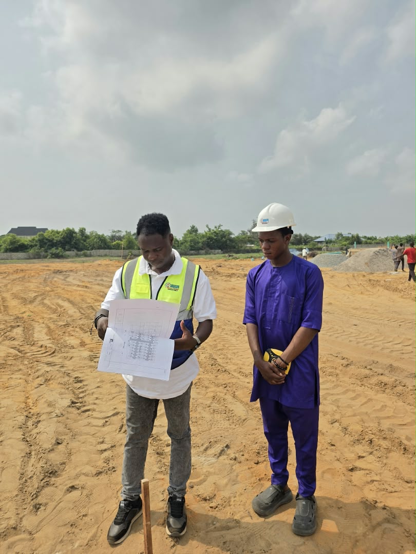
Professional Surveying & Environmental Consultancy Services

End-to-End Land, Spatial & Environmental Solutions

AKOGUN SEC provides certified technical expertise, advanced surveying instrumentation, and seasoned regulatory advisory to ensure your projects are accurate, compliant, and legally secure.

WHAT WE DELIVER

Our Specialized Practice Areas

Explore our core capabilities spanning field geodesy, digital cartography, civil engineering layout, and environmental management.

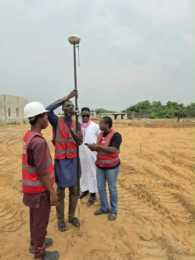
High-precision digital surveying equipment mounted on a tripod
Cadastral Survey Topography As-Built Perimeter Beaconing

Land Surveying & Cadastral Mapping

Precision measurement and establishment of legal property boundaries. We provide Registered Survey Plans lodged and certified under SURCON regulations, topographical contour mapping for civil design, as-built documentation, and boundary re-establishment to resolve or prevent boundary disputes.
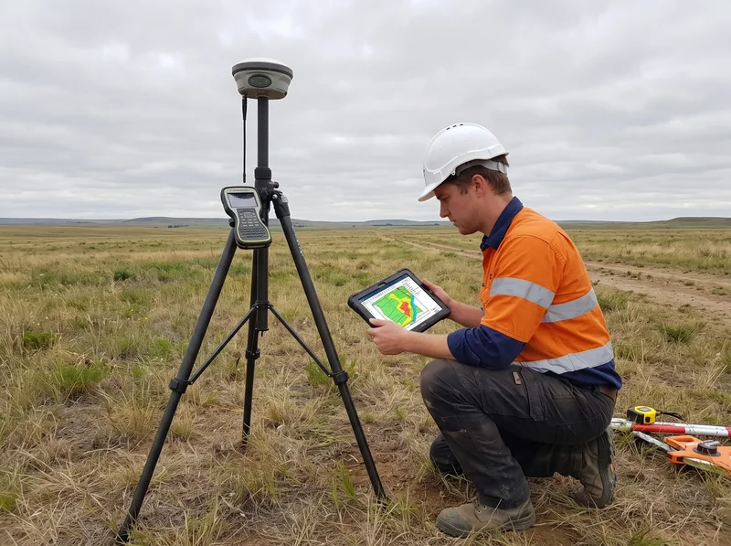

Geospatial GIS data analysis and digital mapping
Spatial Analysis Remote Sensing Drone Mapping Terrain Models

GIS & Geospatial Analytics

Transforming spatial data into actionable intelligence. We build Geographic Information Systems (GIS) for land registries, utility networks, municipal asset tracking, satellite remote sensing, flood vulnerability modeling, and Digital Elevation Models (DEM) for comprehensive regional planning.

Technical layout plan and architectural engineering drawing
Master Planning Plot Partitioning Road Alignment Utility Corridors

Estate Layout Design & Masterplanning

Expert physical planning and parcel subdivision for residential estates, industrial parks, and commercial schemes. We craft optimal plot partitioning, internal road hierarchies, stormwater drainage corridors, and green utility reserves in full alignment with state town planning laws.

Construction site supervision and engineering measurement
Setting-Out Structural Levels Road Profiling Earthwork Volumetrics

Engineering Design & Construction Supervision

Technical geodetic control for construction and civil works. Our engineers provide accurate building setting-out, column/pile alignment, road longitudinal profiling, cut-and-fill volume computations, structural deformation monitoring, and end-to-end site quality supervision.

Natural environment landscape assessment
EIA Studies Flood Risk Soil & Hydrology Sustainability

Environmental Consultancy & Assessment

Navigating regulatory compliance and protecting ecosystems. We carry out formal Environmental Impact Assessments (EIA), Environmental Audits (EA), coastal flood vulnerability studies, wetland delineation, soil testing, and sustainable drainage framework designs for projects across Nigeria.

Property inspection and title verification
Lands Bureau Charting Governor's Consent Title Perfection C of O Advisory

Property Documentation, Registration & Title Advisory

Guaranteed security for real estate investments. Leveraging extensive Lagos State Lands Bureau administrative expertise, Surv. Adediji Babatunde and our advisory team conduct meticulous legal searches, cadastral charting against government acquisitions/committed zones, and deed perfection.

Surveying equipment and instruments
Total Stations RTK GPS Rovers Optical Levels Collimation & Service

Sale & Calibration of Surveying Equipment

Direct procurement and maintenance of industrial-grade geodetic equipment for surveying firms, engineering contractors, and universities. We supply and calibrate dual-frequency GNSS/RTK receivers, digital Total Stations, automatic optical levels, prisms, tripods, and accessories with certified warranty.

HOW WE WORK

Our Structured Methodology

From initial consultation through field measurements to official certification, our quality control ensures precision and reliability.

1

Site Briefing & Reconnaissance

Initial document review, title search, and field reconnaissance to establish boundary perimeter, terrain constraints, and geodetic control points.

2

Field Geodetic Observation

Rigorous data acquisition using high-precision RTK GNSS and digital Total Stations to establish boundary beacons, contours, and coordinate closures.

3

Computational Processing & GIS

Rigorous mathematical reduction, error closure testing, CAD drafting, and spatial attribute integration under strict geodetic standards.

4

Certification & Title Delivery

Official certification by Registered Surveyor, lodgement with relevant regulatory authorities, and delivery of final certified plans to the client.

CLIENT QUESTIONS

Frequently Asked Questions

What is the difference between a provisional and a registered survey plan?

A registered survey plan is prepared, signed, and stamped by a Registered Surveyor and lodged with the State Office of the Surveyor-General with official beacon numbers. It serves as a recognized legal document for title perfection, Governor's Consent, and Court proceedings. A provisional survey is merely preliminary and cannot be used for statutory registration.

Can AKOGUN SEC chart my prospective land before I buy it in Lagos?

Yes. Land charting is one of our primary advisory services. We chart your coordinates against the Lagos State composite digital cadastral map to determine whether the land falls under government acquisition, committed agricultural reserves, road alignments, or is free for development.

How long does it take to complete a perimeter boundary survey?

Field observation for standard residential plots (1 to 5 plots) typically takes 1 to 2 days. Computational reduction, drafting, beacon pillar setting, and survey plan processing usually takes between 3 to 7 working days depending on state lodgement protocols.

When is an Environmental Impact Assessment (EIA) mandatory?

Under Federal and State environmental protection laws, an EIA is required for large-scale housing estates, industrial facilities, agricultural land clearing, coastal reclamation, filling stations, and any infrastructure development likely to significantly alter the natural ecosystem.

Need Professional Guidance on Your Project?

Get in touch with our lead consultants today for tailored advisory, quick estimates, and on-site scheduling.

Request a Free Quote View Completed Projects